Frank Lanier
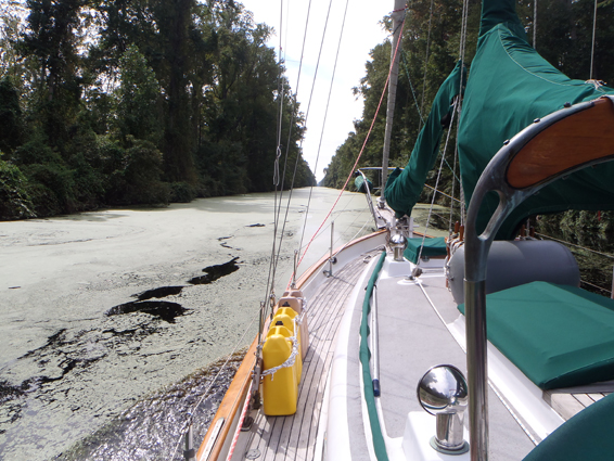
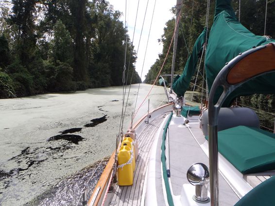
The key to safe, stress-free cruising (or less-stress at least) of the Intracoastal Waterway (ICW) is proper planning. Get the most up-to-date ICW guidebooks and charts, and study them well in advance. When planning a trip down the ICW for my review of ICW cruising guides (PS, May 2014), I came up with a general timeline and lists of major stops I wanted to make along the way, but I let my day-to-day progress drive my schedule. I always planned out the next days run prior to heading out (typically the night before), which also gave me a chance to review the latest weather forecasts and its potential effects on travel plans.
When planning out the days run, Id comb through the charts and guidebooks, noting things such as marina locations, possible anchorages, bridge opening or lock schedules, and potential ICW trouble spots. Knowing these things ahead of time helped generate both peace of mind and a more relaxing, enjoyable trip.
I also made contingency plans for anchorages or stopovers, in case I was delayed or (in some cases) made better than expected time and decided to push on a bit more.
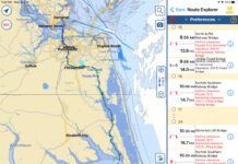
Another part of my nightly planning routine was tracing the route and reviewing notes and comments provided on ActiveCaptain (www.activecaptain.com), a popular interactive online cruising guide. ActiveCaptain can be a very useful planning tool, as long as you take into consideration the double-edged-sword nature of the comments themselves. Be aware that a less-experienced sailors report of a great anchorage with plenty of depth, or statements like We ran aground here! don’t do you much good if they fail to include basic info such as their boat’s draft, state of the tide, etc. Other sailors’ facility reviews should also be taken with a grain of salt. For example: The dockmaster hates Algerian Snaggle-tooth Poodles (like our Fluffy), so were never coming back, and you shouldnt either!
In addition to weather, the number of travel miles I planned for each day depended on a variety of factors, from distances between suitable anchorages to towns or areas I wanted to visit. With a 6-foot draft, tide schedules also played a major role when transiting known shallow spots. Many sailors traveling the ICW become destination driven, hurrying to get from point A to B as quickly as possible. Time and schedules are a major factor, but my philosophy was that the trip itself was just as important as my destination (the Bahamas), and I wanted it to be just as enjoyable and experiential.
Using an average speed of 6 knots, I typically planned for a run of around 40 statute miles each day. Viewing the trip as a whole, this allowed progress along the ICW at a reasonable clip, but also provided stopover days for rest, sight-seeing, weather delays, etc. Although I had shorter and longer daily runs (60 to 70 miles in some cases), 40 miles was a good average, one that provided additional time to arrive at a planned stopover before dark should unexpected delays crop up.
I wanted to avoid traveling the ICW at night and planned accordingly, particularly as I was in unfamiliar waters and traveling solo. I also tried to schedule one layover day for every three or four travel days, more if I was someplace with a lot to see and do. These layover days provided time to catch up on trip planning and boat chores, as well as allowing time to simply decompress and enjoy the trip.


